Privacy and location precision on DetectID
The full DetectID privacy model — what we collect, EXIF GPS stripping, the five precision settings, what other users and anonymous browsers can see.
Detectorist data is sensitive. A bad permission-leak can cost you a relationship with a landowner; a posted exact coordinate can invite nighthawks to a site. DetectID is built on the assumption that you want full control over what becomes public — this post lays out exactly what we do, what we don’t do, and how you stay in control.
What we collect
- Your email address (for sign in).
- The photos you upload — with all EXIF metadata stripped.
- The identification results we produce.
- Anything you type into the upload form — weight, region, notes, detector brand, etc.
- Pin coordinates and precision you select on the location picker.
- Detecting session labels.
- Hearts and comments you leave on other users’ public finds.
- Your usage in aggregate (counters for billing / quota tracking).
We do not sell data, share it with advertisers, or combine it with external profiles. There are no third-party trackers on the find-management pages.
EXIF GPS — stripped at upload
Phones embed your exact coordinates in every JPEG by default. If we kept that data, every find you uploaded would carry your precise location even when you set the find’s precision to “1 km” or “hidden”. So we don’t. At upload, photos are processed by our server-side pipeline: EXIF read (to detect if GPS was present, for the “photo had GPS” flag — useful for your own records), then EXIF completely stripped before the file is stored.
The image we store contains no location metadata. Even if the file ever leaked, no GPS reveal would be possible from it.
The five precision settings, explained
Every find has a precision setting. New finds inherit the default from your profile (set in Settings); you can override per-find on the upload form.
1. Exact
The pin sits at the actual coordinates you placed. Visible only to you, never shared publicly, never plotted on rally maps you attend. Use only for finds you’d want to revisit precisely on your own — otherwise pick 1 km instead.
2. 1 km grid (recommended)
Snaps to the centre of the surrounding 1 km square. A privacy circle is drawn around it on every map view. Means: “I found this somewhere within a 1 km square” — useful for your own pattern-of-life but not enough to give a permission away.
3. 10 km grid
Snaps to a 10 km square. Rough region. Useful when you want to share a find publicly with a vague locational sense but deliberately not pinpoint it.
4. County only
No map dot. The find is tagged with the county only. Appears in your by-region statistics; doesn’t appear on any map.
5. Hidden
Completely off the map. The find still exists in your collection and counts in your stats, but no precision data is stored. Use for sensitive permissions where even the county is identifying.
What other users can see
Even if you share a find publicly, here’s the boundary:
- Public profile (/u/your-username):shows the public finds you’ve shared, their photos, identifications, period, the precision-honoured pin (if any), and a Rally Captain badge if you have one. Nothing else.
- Discovery feed (/finds/public): same content as the public profile, just in a chronological cross-user feed.
- Rally feed (during a rally):rally attendees can see your finds uploaded during that rally, even if you’ve not marked them public on the broader site. Anonymous mode hides your username and suppresses the density dot but the find itself is still in the feed.
What no one but you can see, ever:
- Your collection at /finds.
- Your detecting sessions and their labels.
- Your private notes from upload.
- Your map view at /finds/map.
- Your statistics dashboard.
- Your email address.
- Your detector brand / model (unless you explicitly share a find that lists it).
Anonymous browsing
Someone visits app.detectid.co.uk without being signed in. They can see:
- The homepage, with public stats and Find of the Week.
- The discovery feed at /finds/public.
- Individual public finds.
- Public user profiles by username.
- The guides and the blog.
- The pricing page.
They cannot see anything else. To upload, save, or interact, they have to sign in.
Database-level enforcement
For the technically-curious: we use row-level security on every table that contains user data. Each query is filtered by the signed-in user’s ID before any data leaves the database. Even if a bug in our application code tried to read another user’s rows, the database would refuse. There is no “all users” view of finds in the application; that view doesn’t exist at the storage layer either.
What happens if you delete your account
On account deletion (from Settings):
- Your finds and photos are deleted from storage within 24 hours.
- Your profile is marked deleted; your public username is freed for re-use after 30 days.
- Your hearts and comments on others’ public finds are anonymised, not deleted (so the public feed history doesn’t fracture).
- Aggregate counters (which contributed to the homepage stats) are kept anonymised.
- Your email is removed from any future-marketing list immediately.
We don’t hold deletions for a “cool down” period. If you ask us to delete, we delete.
Treasure Act and reporting
DetectID does not auto-report finds to the Portable Antiquities Scheme, Finds Liaison Officers, or any other authority. The Treasure Act flag on an identification is a suggestion to youthat the find may meet the criteria — what you do with that is your call, your responsibility.
We do reserve the right to report finds we believe are the result of unauthorised activity (e.g. on a protected site, with no landowner permission) — that’s a deliberate carve-out because the alternative would be us becoming a haven for the wrong sort of detecting.
Common questions
Will detectorists who don’t want their pins shared appear on the public map?
No. The public map only shows public finds at their author-chosen precision. If your default is hidden or county-only, your finds don’t appear on any public map regardless of share status.
Can I bulk-change precision on existing finds?
Yes — there’s a bulk-edit on the collection page, though we recommend per-find review for older entries since you may have notes attached.
Is location data ever shared with map providers?
No. We render maps from public tile providers (OpenStreetMap), but your pin coordinates never leave our server — the tiles are loaded first, your pin is drawn client-side on top.
Next steps
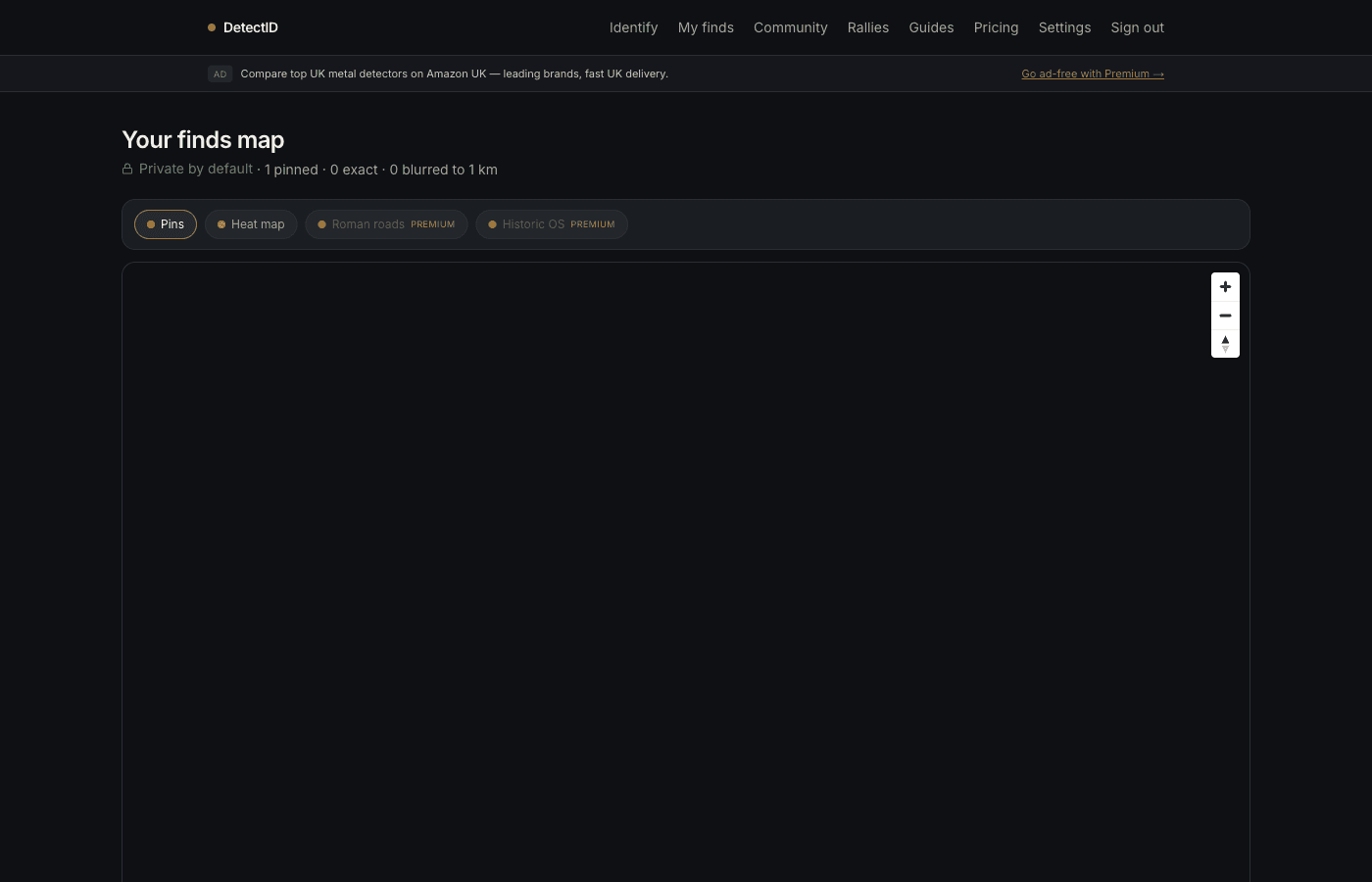
- Map mechanics: Using the maps and pins.
- Sharing finds with confidence: Sharing finds publicly.
Try DetectID on a real find
Upload a photo and we’ll return a calibrated shortlist with period, denomination, ruler and full reasoning chain.
Identify a find